Relief Update as of November 15, 2010
Over the summer months, Plateau Perspectives worked with many of its local partners to determine the most strategic role that it can play in the mid- and long-term recovery of Yushu, following the earthquake that devastated the region on 14 April 2010. The following three-prong approach, or strategy, was adopted:
(1) We are still responding to short-term (immediate) relief needs as they arise, whether this be follow-up medical care for patients, or provision of materials supplies;
(2) With regard to community-based medical care, our main priority is now on the rehabilitation of people with physical disabilities incurred due to the earthquake, as well as a general upgrading of rehabilitation services in the project area; and
(3) We also support the recovery of local livelihoods in the area, with a special emphasis on building the capacity of local communities to participate in new tourism opportunities in the prefecture (note: the government has designated the Yushu area as a new tourism destination, and is rebuilding the regional economy accordingly).
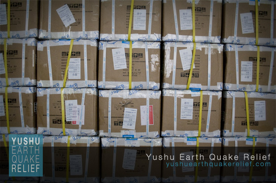
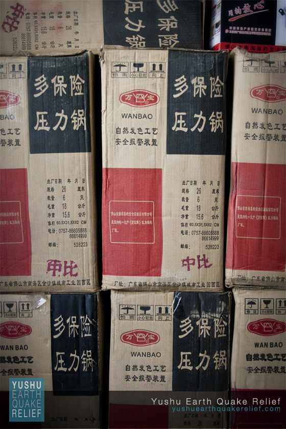
Specifically, since our last update, we have distributed the following emergency relief supplies in Yushu: more than 50 medium-size tents (each for 6-8 people), 700 solar powered dLights, 50 other solar powered lights, 5 large boxes of FedEx clothing, 400 thermals for children, 100 pressure cookers, 400 pairs of socks for children, 100 cell phone rechargers; 150 wheelchairs and 50 crutches; winter coats, shoes, hats, gloves, and thermals for 1,521 school children (with assistance from several local partners).
This week, we also are preparing further relief assistance, including winter coats, hats, thermals, and blankets for an additional 420 school children; winter coats, shoes, and blankets for 1,000 people (with the Civil Affairs Bureau); 100 solar powered lights, 50 wheelchairs, and 20 crutches (with the Disabilities Association).
Project agreements are in place for us to continue the above work in the months ahead. We are now working in cooperation with the Disabilities Association, and we are also in dialogue with the Tourism Bureau to promote more community-oriented tourism in the future. At the same time, with support from the prefecture government, we will of course also continue to respond to relief needs as we learn of them, especially now as people must face their first post-earthquake winter. The times ahead are still difficult, and your help is still very much appreciated.
Thank you in advance for your continued support, in aid of the people of Yushu.


